


Improving our tree counting with Spatial Insight
We are happy to announce that Justdiggit has established a new partnership with data science company Spatial Insight! For 1 day a week, one of the team members of the Spatial Insight team will be working for Justdiggit in areas such as geodata, databases, and data management visualization. With these data, we are able to gain more insight into the impact of our project areas.
Spatial Insight’s strategy for counting trees
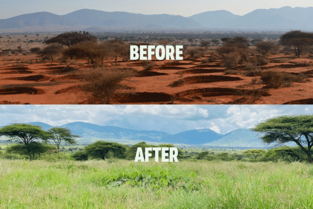
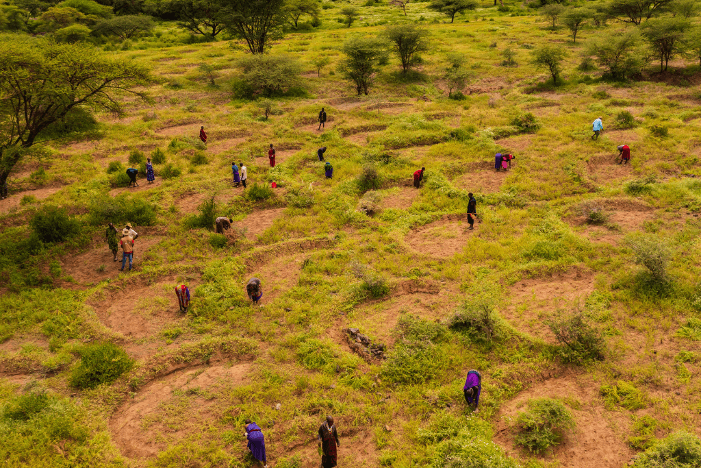
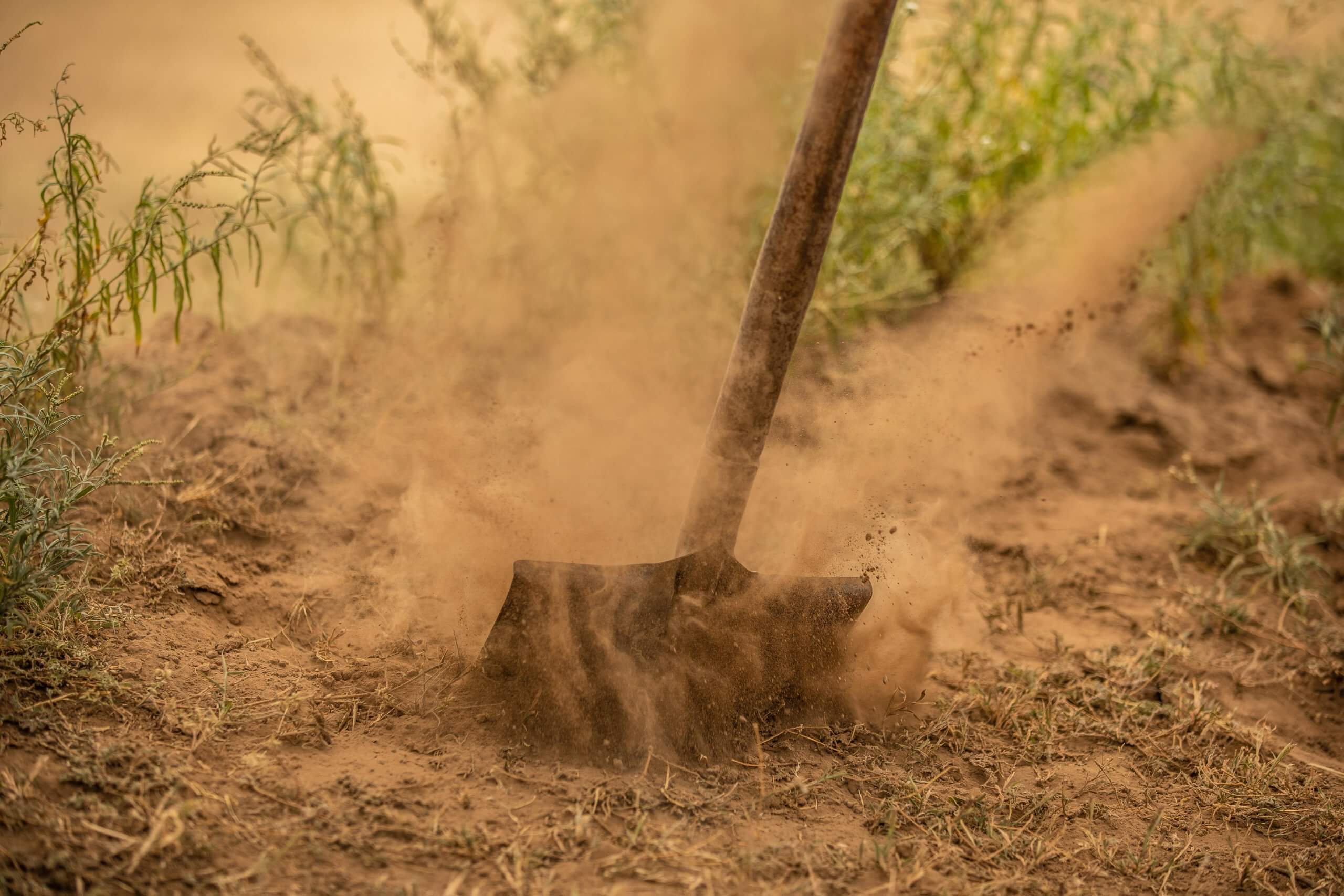
Spatial Insight’s first project for Justdiggit will revolve around improving the tree count workflow. The number of trees brought back in our project areas in Tanzania is an important metric to measure the impact of the program. Until now, LEAD Foundation has been doing great work on counting the millions of trees in the project areas. However, as the number of farmers, the number of trees, and the number of active areas are increasing, we need a way to smoothly process and verify all data that we collect. That is exactly what Spatial Insight will be doing for us. By combining smart data science and GIS, they will develop an improved data management system through which we can assess and verify the impact made in a fast, accurate, and scalable way.
About Spatial Insight
Spatial Insight is an independent Dutch data science consultancy, combining smart data science and GIS. Since both GIS, data science, and asset management are in their DNA, they deliver their approach by running models on existing data. We want to thank Spatial Insight for their fantastic support, and we look forward to their great contribution in the near future!
![]()