
Machine learning model to track trees
Imagine a tool that is able to easily visualize the millions of trees that Justdiggit and our partners are bringing back in Tanzania. Imagine a tool that not only visualizes those trees, but also measures their impact on the environment, by scanning and analyzing drone and satellite images. Together with our partners Lynxx, VU University, MetaMeta, and LEAD Foundation we developed such a tool. With this tool, we can keep track of all these millions of trees in the vast landscapes that we are working in!
Current satellite monitoring tools
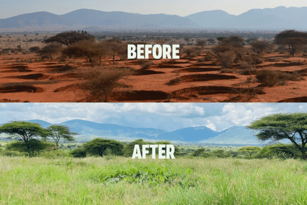
In the past, various satellite-based monitoring tools have been developed to identify trees and measure their impact on the environment. Most of them, however, have one downside: they only can measure trees present within forests. The tools often use medium-resolution satellite data, which can only support the detection of trees in an area of 30 meters by 30 meters. This makes them inaccurate for the detection of small trees outside of dense forests. At Justdiggit, we regenerate trees outside the forests, on farm- and rangelands. The current satellite-based monitoring tools are therefore inadequate to use within our project areas.
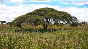
Monitoring trees outside the forests
Together with our partners Lynxx, VU University, MetaMeta, and LEAD Foundation, we now have developed a tool that for the first time allows us to monitor trees within our project areas really quickly and on a large scale. The tool uses an image recognition algorithm that recognizes objects in photos. Now, this model has been trained to recognize all kinds of trees on different types of images, even without leaves. This provides us with a practical and tangible tool to visualize the trees in our project areas and measure their impact. With the help of a large dataset of drone images of the project areas we now easily can detect and measure the millions of trees in our projects.
What does the tool see?
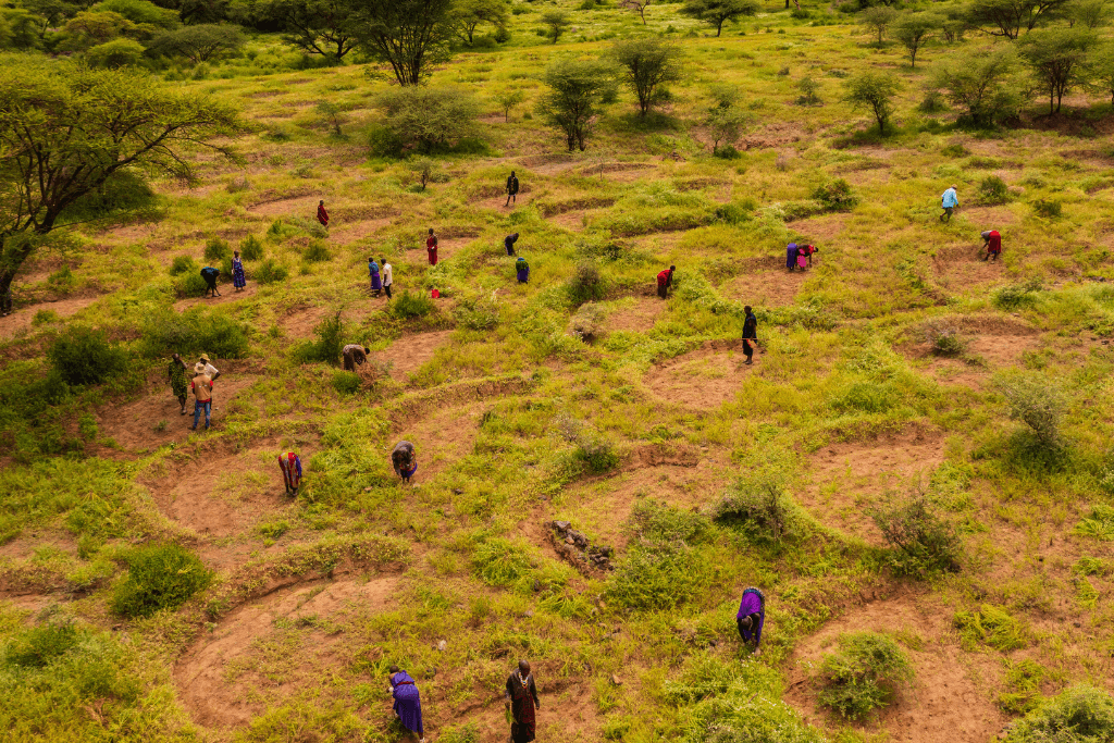
In the image below you see how the tool recognizes the trees. It not only detects the large trees, but also the small ones. It even recognizes trees without leaves. The tool detects the trees, but also measures how large they are and how fast they grow from year to year. This gives a complete picture of the impact of all the trees within an area.
The benefits
This newly developed tool has many benefits. It not only allows us to gain very fast and precise insight into the number of trees, but it also helps us to track the expected increase over time. This will help us gain insights into our own projects, to evaluate how many trees there are in total and how large they are in great detail. The tool will also allow us to estimate how much carbon is absorbed by the trees in a certain project area. With this gained knowledge, we can provide farmers with feedback and show them the positive impact of the projects.
Next steps
We will continue to further improve the machine learning models and combine the results of the detailed drone analysis with satellite data to gain insights on our impact of trees at the regional and country level. Once fully developed, we want to make the tools available so that others can use them to discover and monitor trees as well.
Regreening and monitoring are done together!
This tool wouldn’t have existed without the support of our amazing partners:
Lynxx
Lynxx is a data science company, aiming to help organizations across a range of industries solve the complex problems holding them back. With the power of data, they find creative solutions to drive an organization forward.
MetaMeta Research
MetaMeta Research has been our monitoring & evaluation partner for many years. They have collected a good deal of drone images and trained partners on the ground to do the same.
LEAD Foundation
Our local partner LEAD Foundation has contributed to the development and testing of this new tool and the collection of drone images and training datasets.
The VU University Amsterdam
Researchers Tom Eames and Sanne Kuipers of the VU University Amsterdam focused on analyzing the satellite images that we have obtained using this new monitoring tool. They are working at the Faculty of Earth and Climate, where the past changes, modern processes, and future prospects of the climate on earth are researched.
Want to learn more about the tool? Read the blog of Lynxx and MetaMeta.